The design decision
Separate the publication control plane from the serving path. Catalogs, validation and permissions coordinate the work; serving components expose map, vector and tile outputs.

 Cartostead
Before the map, a publication system.
A geospatial publication and serving platform for catalogs, permissions, validation, jobs, styles and map/vector/tile delivery.
Spatial publication is more than putting a map on a screen. Data quality, jobs, styles, permissions and serving behavior need a coherent lifecycle.
Product & systems architecture
I’m building the publication and serving architecture around spatial catalogs, permissions, asynchronous jobs, validation and operational auditing.
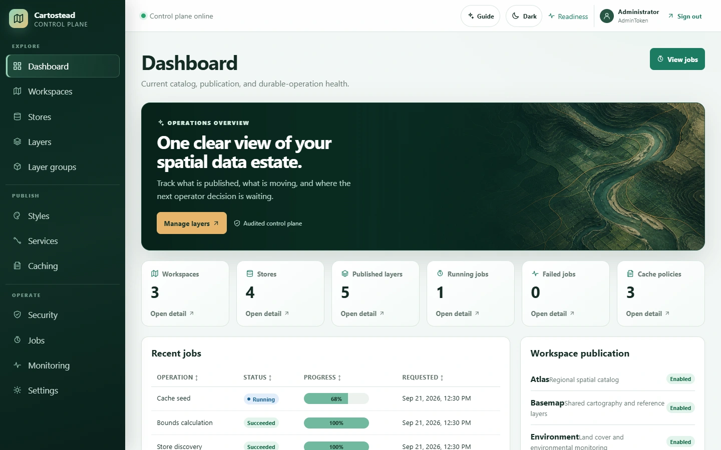
Separate the publication control plane from the serving path. Catalogs, validation and permissions coordinate the work; serving components expose map, vector and tile outputs.
Spatial data quality, long-running publication work, permission boundaries and service consistency matter as much as visualization. The development scope includes standards-based map services and vector/tile delivery.
Architecture walkthrough
An illustrative system flow, not live product activity.
Spatial sources enter the publication workflow.
Validation assesses the data before publication work proceeds.
Jobs prepare spatial outputs and publication state.
The publication pipeline coordinates prepared data and styles.
The control plane manages catalog state, permissions and auditing.
Serving components expose the published spatial outputs.